Weather
Winter storm winding down, warm temps and strong winds remain
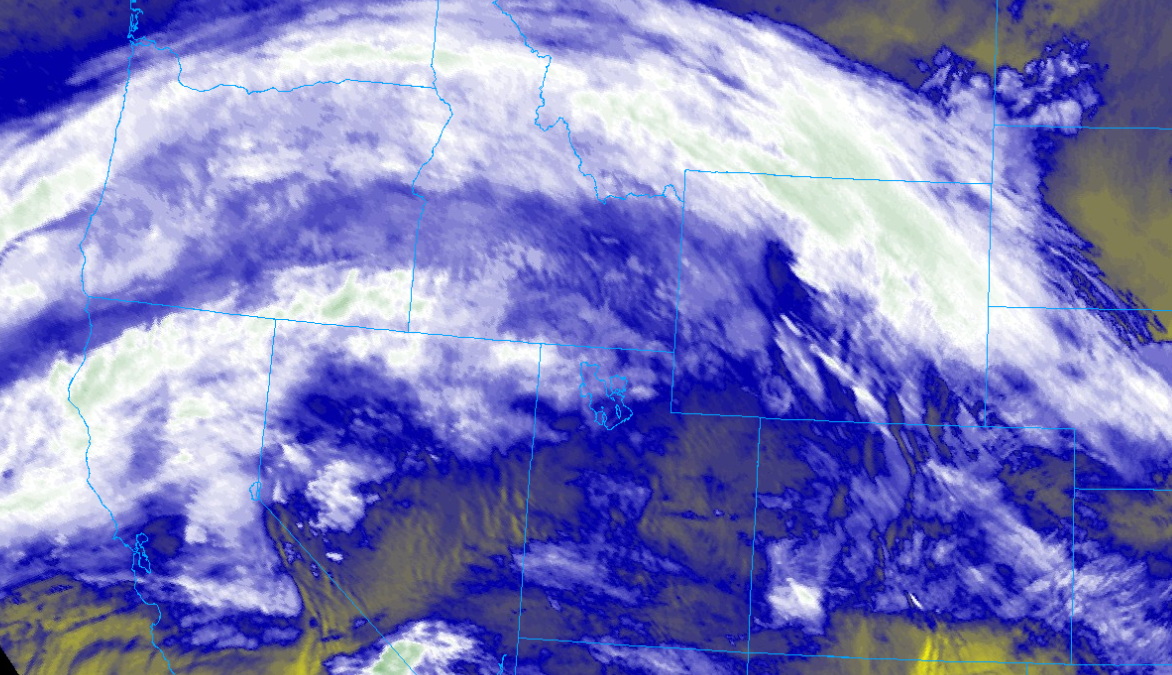
Photo: Satellite imagery of water vapor transport from the atmospheric river // College of DuPage NEXLAB
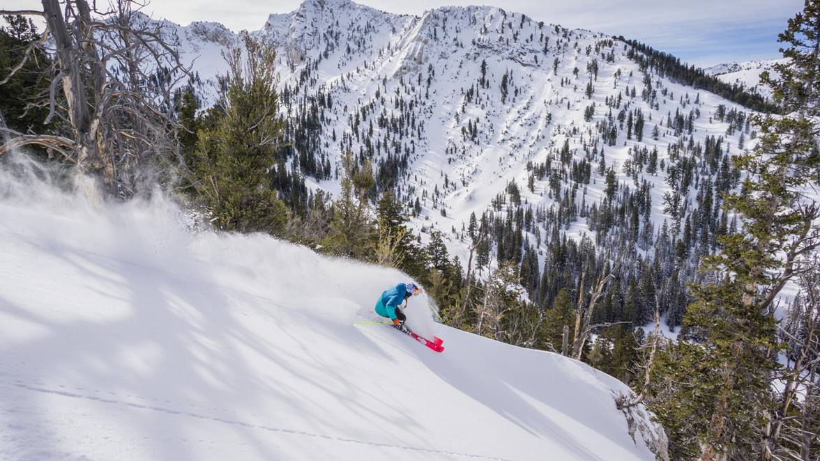
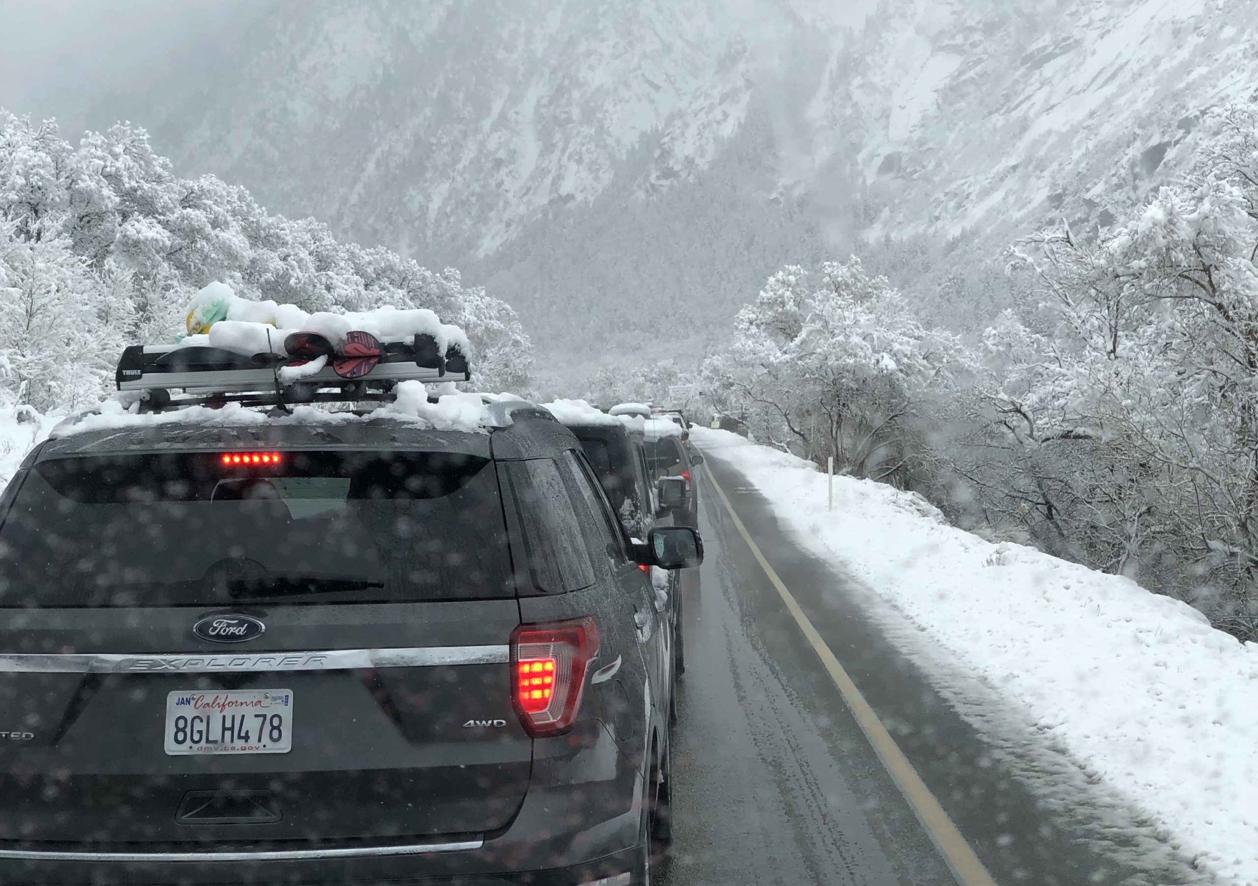
PARK CITY, Utah – A warm and windy winter storm has dropped about a foot of dense snow across the Wasatch since late Friday night. The moisture associated with an atmospheric river is now moving to our north and precipitation has largely ended as of early Sunday morning. This limited the amount of rain that fell at lower mountain elevations as temperatures rose drastically overnight.
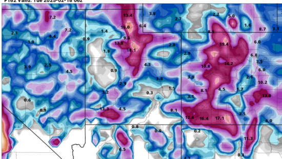
Storm snow totals Friday evening through Sunday morning
- PCMR / Deer Valley: 7-9” of snow
- Cottonwood Canyons: 10-14” of snow
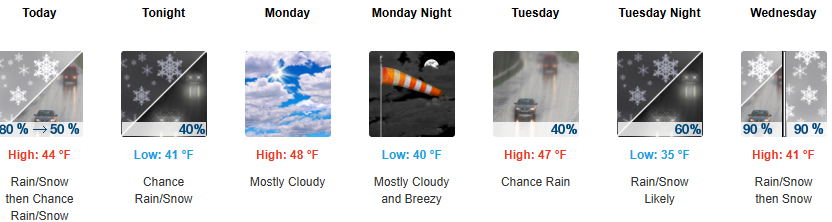
Strong southwest winds, with some gusts reaching 100 mph in Little Cottonwood Canyon, have helped raise temperatures by about 10 degrees overnight. Overnight low temperatures will be close to record highs as the Salt Lake Valley will see temperatures near 60°F during the day on Monday and Tuesday. Winds and temperatures will remain elevated today through Tuesday before another weaker storm system is slated to arrive Wednesday, cooling down temperatures and bringing a chance for some modest snow accumulation in the mountains. In the long term outlook, the pattern looks to remain fairly active as another storm is expected to tap into a stream of moisture from another, albeit weaker atmospheric river for the weekend.
The Utah Avalanche Center danger rating is currently considerable for all elevations and aspects due to wind loading from the recent strong winds that were accompanied by heavy, dense snowfall.
By: Adam Lenkowski

3267 W Deer Hollow Road, Unit 2305
Park City, UT 84060
80 West 300 North
Salt Lake City, UT 84103
2349 S Lava Vista Drive, Lot 32
Santa Clara, UT 84765
438 Castle Valley Drive
Castle Valley, UT 84532Talk of the Town


Park City Jobs

Junior Interior Designer, Abigail Hill
4 days ago Contractor

Dental Assistant, Rise Dental Wellness
4 days ago Full time

Sales & Marketing Coordinator – B2B Publishing, Power Trade Media
6 days ago Full time $40,000 - $45,000 yearly

Garden Steward and Educator, Summit Community Gardens and EATS
11 days ago Seasonal
PROGRAM AND EVENT COORDINATOR, PC READS
12 days ago Part time $25.00 hourly