Weather
Two storms on tap for Park City through Saturday
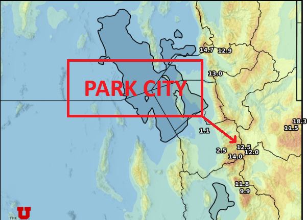
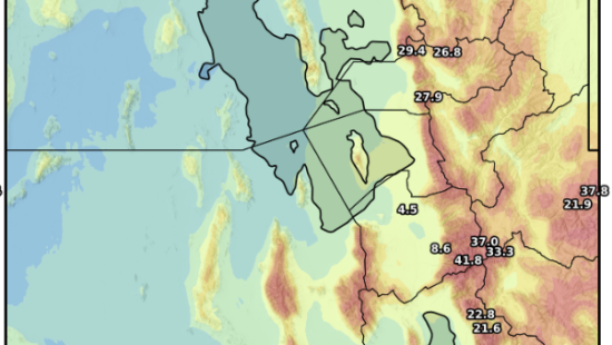
Photo: Utah Snow Ensemble total snowfall through Saturday // UofU Dept. of Atmos. Sciences
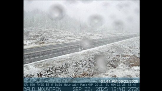
PARK CITY, Utah—The relentless strong winds and record-breaking high temperatures the past couple of days will begin to subside with the arrival of a weak cold front late this morning and into the afternoon. The higher terrain picked up about an inch of snow overnight into this morning in the warm southwesterly flow that is shifting more westerly as the front approaches.
Snow levels will initially be quite high, around 7,500 feet, before dropping as precipitation begins with the arrival of the cold front. Park City should see rain initially, slowly turning to snow later in the evening, with little to no accumulation expected. Mountain snow totals are expected to be relatively modest with this first storm, with most of the Wasatch receiving somewhere in the 1-4” range.
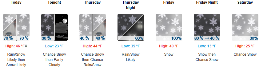
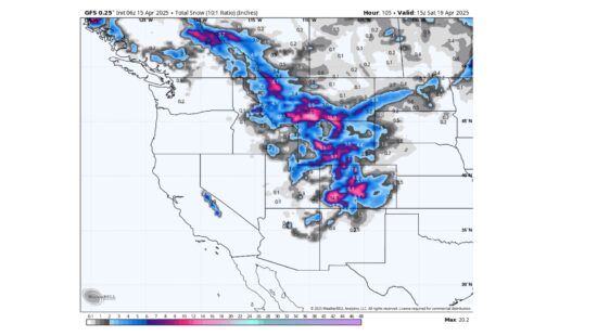
On Thursday, warm temperatures return after a brief cool down as a stronger winter storm begins its approach towards Utah from the northwest, which will tap into the remaining lingering moisture from the prolonged atmospheric river event. The mountains will continue to see light and scattered snow showers throughout the day with little accumulation. Strong southwesterly winds and mild temperatures are expected on Friday ahead of the approaching cold front, slated to arrive Friday afternoon and evening. Snowfall totals with this next storm system could be in the 6-16” range as it has more moisture, is colder, and is better organized than the weak storm today.
By: Adam Lenkowski

80 West 300 North
Salt Lake City, UT 84103
438 Castle Valley Drive
Castle Valley, UT 84532
3267 W Deer Hollow Road, Unit 2305
Park City, UT 84060
2349 S Lava Vista Drive, Lot 32
Santa Clara, UT 84765Talk of the Town


Park City Jobs

Junior Interior Designer, Abigail Hill
5 days ago Contractor

Dental Assistant, Rise Dental Wellness
5 days ago Full time

Sales & Marketing Coordinator – B2B Publishing, Power Trade Media
7 days ago Full time $40,000 - $45,000 yearly

Garden Steward and Educator, Summit Community Gardens and EATS
12 days ago Seasonal
PROGRAM AND EVENT COORDINATOR, PC READS
13 days ago Part time $25.00 hourly