Environment
Utah Water Report: Southern region snowpack drops to historic lows

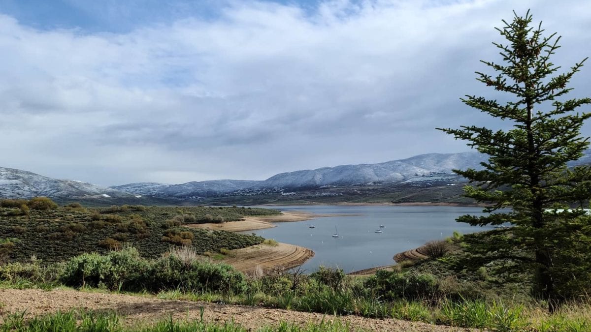
Jordanelle Reservoir at low capacity. Photo: Jordanelle Reservoir
According to the Natural Resources Conservation Service's January report, December brought almost no measurable snow to southwestern Utah, resulting in some of the lowest recorded snow water levels.
SALT LAKE CITY, UT — Northern Utah is seeing near-normal precipitation levels, though rain has fallen instead of snow, which could affect water storage this spring as Southern Utah faces dry conditions, with snowpack at 27% to 64% of normal, the Utah Department of Natural Resources reports.
“We’re encouraged to see most reservoirs at or above normal levels for this time of year, even in areas with below-normal snowpack,” said Candice Hasenyager, director of the Division of Water Resources.

drought and 20% in the moderate category. Last year at this time, 10% of the state was in moderate drought.
Source: https://droughtmonitor.unl.edu/CurrentMap/StateDroughtMonitor.aspx?UT
According to the Natural Resources Conservation Service’s January report, December brought almost no measurable snow to southwestern Utah, resulting in some of the lowest recorded snow water levels.
State reservoir levels are at 77% capacity, 20% above typical January levels due to carryover storage from two years of above-normal snowpack. The Colorado Basin River Forecast Center projects most water supply levels will range from 70% to 90% of average, while southern Utah may see just 40%.
“Every drop saved today contributes to a more resilient water supply tomorrow,” Hasenyager said.
Snowpack provides about 95% of Utah’s water supply. The Department of Natural Resources promotes conservation through programs including the Agricultural Water Optimization Program for farmers and SlowtheFlow.org for residents.
For more information visit the Utah Division of Water Resources website.


