Weather
Dress your ghouls and goblins warm tonight, cold snap continues
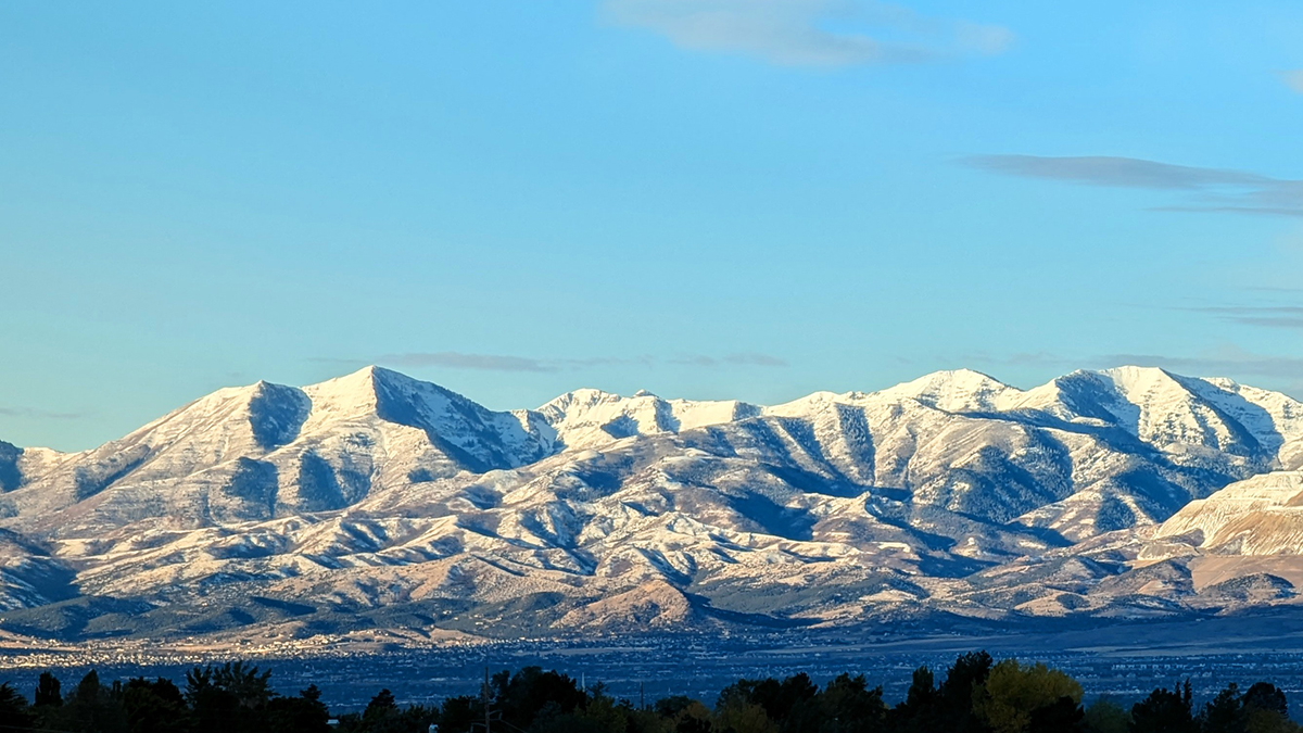
The Oquirrh mountains picked up 16 inches of snow during the last winter storm. Photo: Adam Lenkowski
Be sure to have some long johns for the little ghouls and goblins and maybe even a warm drink in hand for trick-or-treating - temperatures are forecast in the mid-30s at around 7p.m.
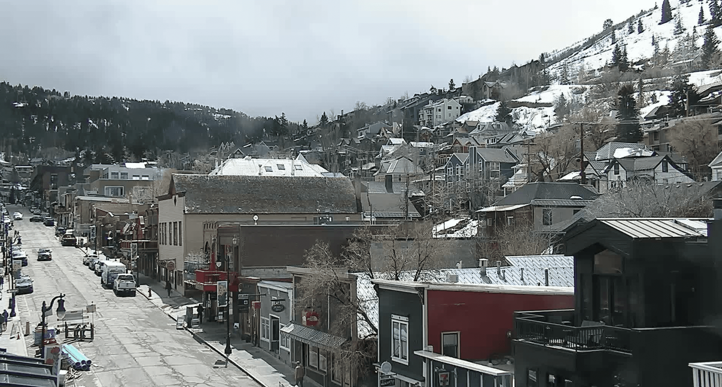
PARK CITY, Utah – As locals prepare for Halloween festivities on Thursday evening, be sure to have some long johns for the little ghouls and goblins and maybe even a warm drink in hand for trick-or-treating – temperatures are forecast in the mid-30s at around 7p.m. and certain popular areas like the top of Main Street, where the annual Howl-O-Ween event is set from 3:00 to 6:00 p.m., could be particularly chilly.
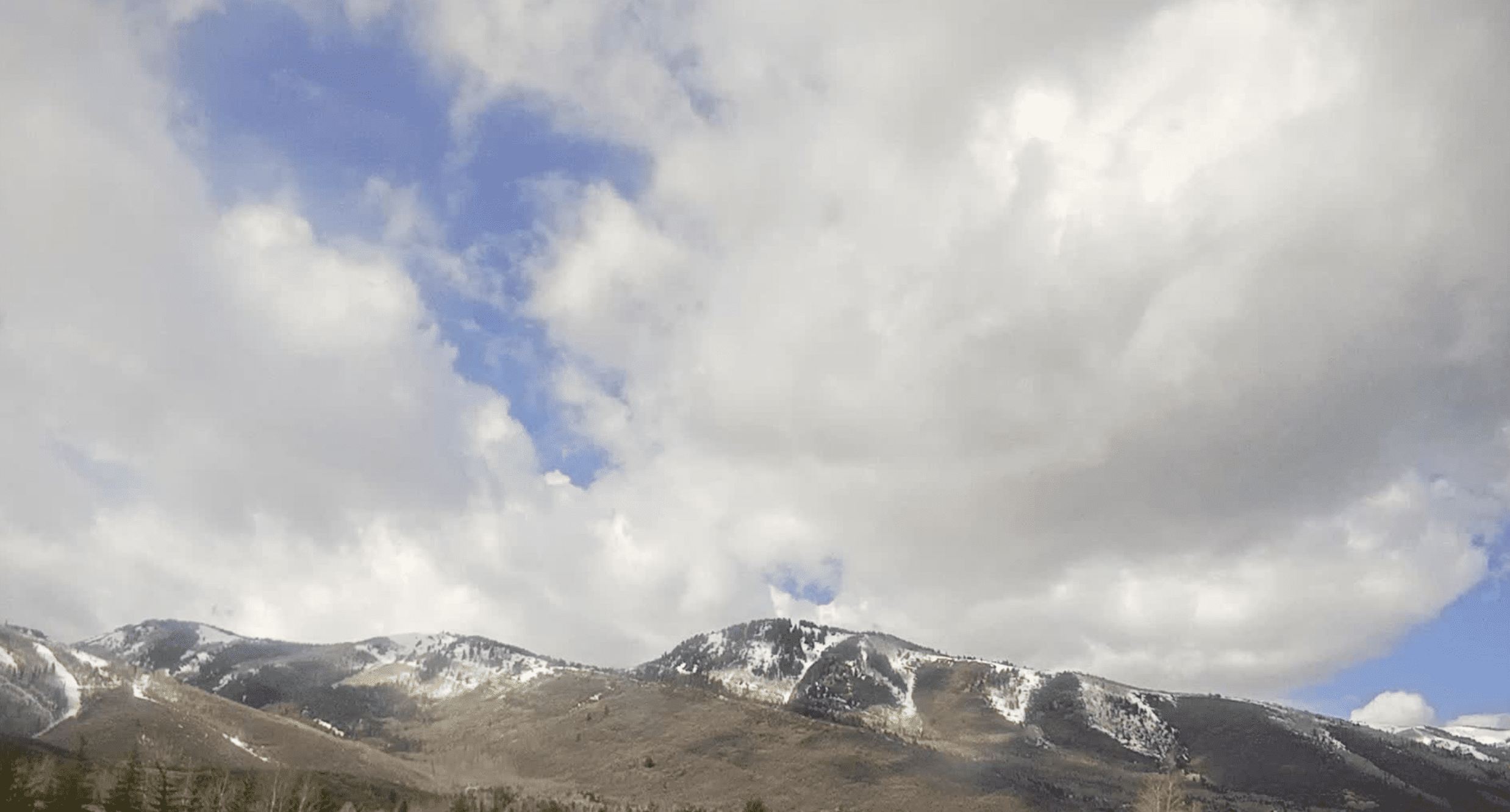
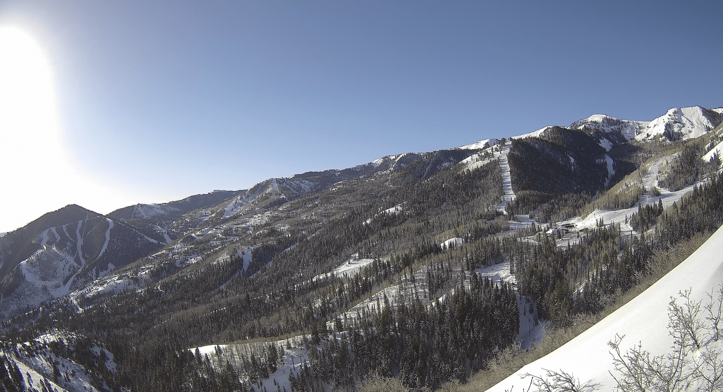
The second winter storm of the season dropped 4-5” of snow across the Park City mountains, 8” at Alta, and about 10” in parts of the Uintas on Tuesday, October 29. The big winner however was the Oquirrh mountain range on Salt Lake’s west side which picked up over 16” of snow with almost 2.5” of SWE (snow water equivalent) due to significant accumulations from lake effect/enhancement.
Weekend Snow
Unsettled weather will persist as a weak system brushes by just to the north Thursday into Friday, keeping temperatures below normal and a chance of some flurries with little to no accumulation expected. The next significant storm arrives on Utah’s doorstep on Saturday evening, with a cold front crossing northern Utah sometime Sunday morning. Preliminary snowfall estimates are in the 4-7” range for the Park City mountains, with yet another chance for early season lake effect snow on for favored areas in northerly flow such as the Oquirhhs, and higher amounts in Little Cottonwood. The storm will dig far to the south before cutting off and exiting the region Monday morning.
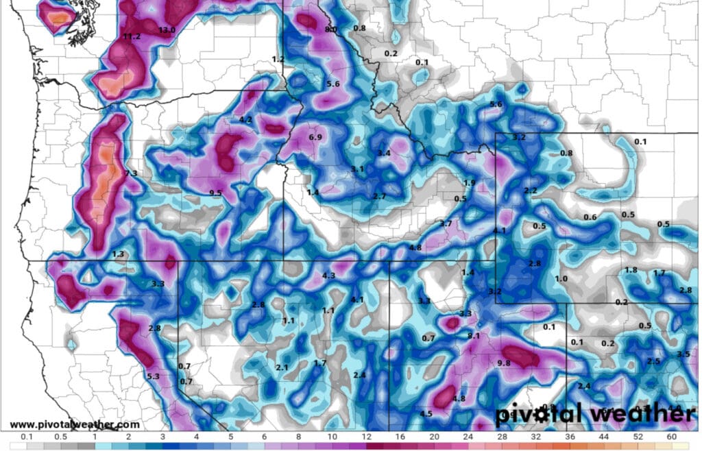
The last two October storms delivered lower than expected snow totals as Utah is entering a more active winter weather pattern.


