Snow
Chance of snow forecasted for high elevations this week
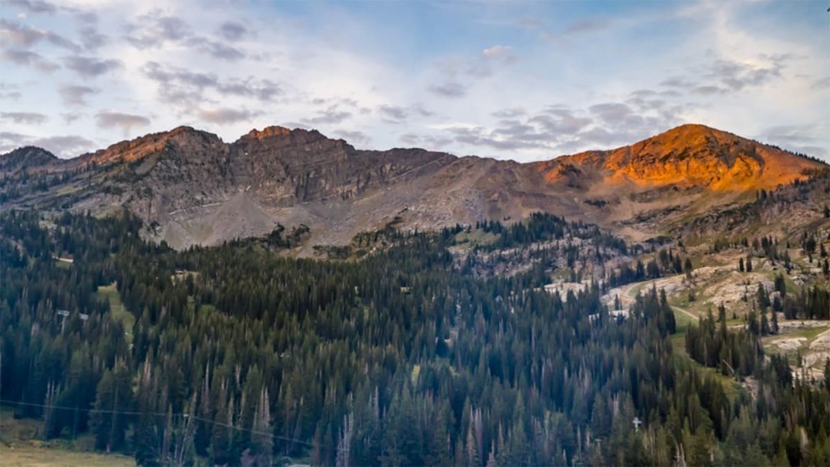
Alta's Albion Basin at sunrise on Tuesday, September 10, 2024. Photo: Alta Webcam
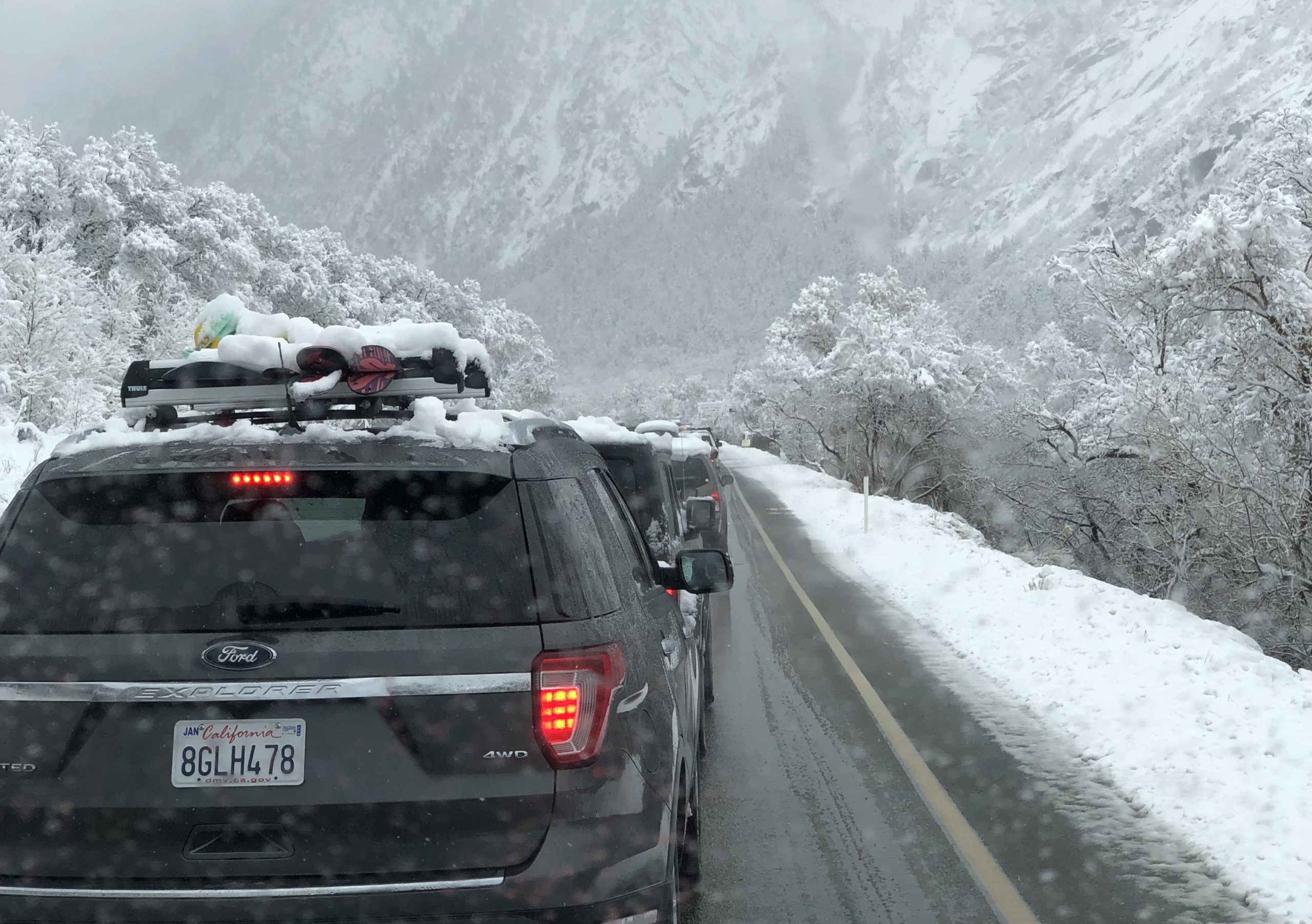
PARK CITY, Utah – As a cool trough of weather moves into northern Utah this week, forecasters are predicting a chance for high elevation snow Wednesday and beyond.
As the trough drops into the Great Basin Tuesday, expect wind and thunderstorms to pick up across Utah. Temperatures will become noticeably cooler Wednesday with highs in Salt Lake in the low 70s and as cool as 50s and 60s in Park City.
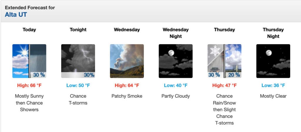
OpenSnow’s Evan Thayer is predicting a chance of snow for the high Uintas and high peaks of the Wasatch. The National Weather Service report for Alta calls for a chance of snow showers between 9am and noon Thursday, followed by rain and possible thunder after noon on Thursday, possibly into Thursday night with a low of 36 degrees at the base.
The first snow of the 2023-2024 winter season in Utah arrived on September 4, 2023, with a dusting visible at Snowbird and on Bald Mountain Pass at an elevation of 10,715 feet.
By: Marina Knight

325 White Pine Canyon Road
Park City, UT 84060
3267 W Deer Hollow Road, Unit 2305
Park City, UT 84060
80 West 300 North
Salt Lake City, UT 84103
438 Castle Valley Drive
Castle Valley, UT 84532
1511 S Valley View Circle
Springville, UT 84663
2349 S Lava Vista Drive, Lot 32
Santa Clara, UT 84765Talk of the Town


Park City Jobs

Hiring Barista Assistants and Baristas, Silver King Coffee
5 days ago Part time $17.00 - $30.00 hourly
General Maintenance Technician, Moose Management Vacation Rentals
8 days ago Full time

Office Coordinator, Park City Community Foundation
12 days ago Full time $50,000 - $55,000 yearly

Summit Land Conservancy Programs Specialist, Summit Land Conservancy
12 days ago Full time
Vice President of Finance, Park City Community Foundation
12 days ago Full time $115,000 - $130,000 yearly