Weather
Weekly weather report: Warmer temps midweek, chance of snow nearly all week long
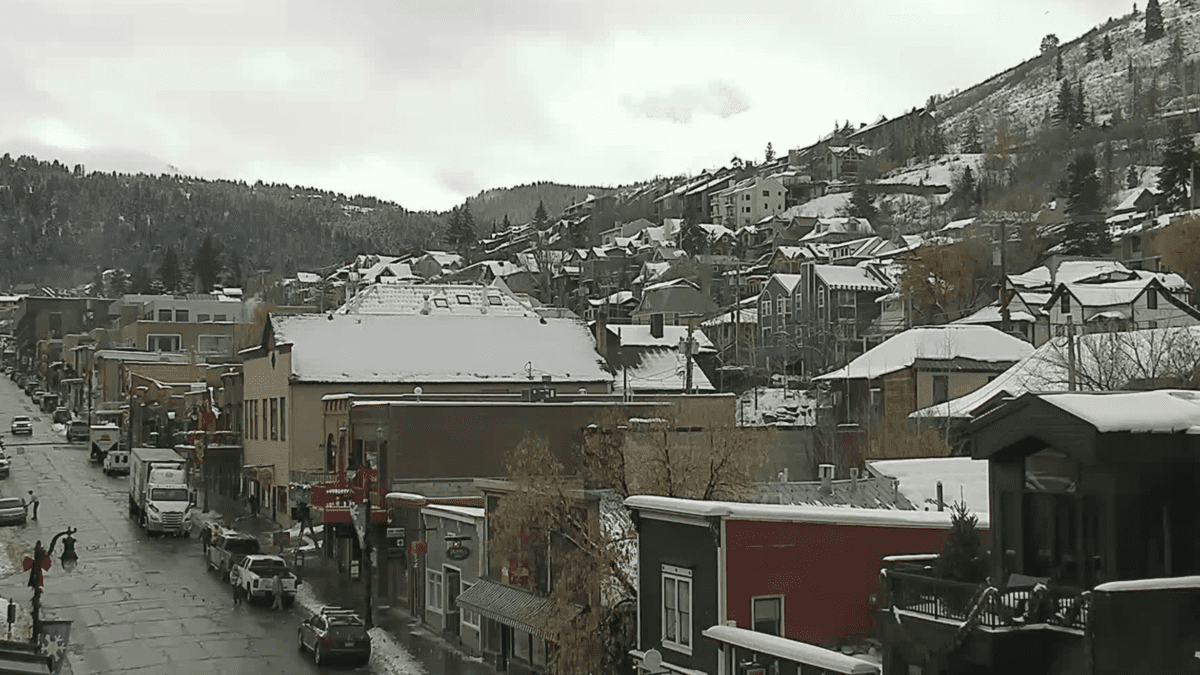
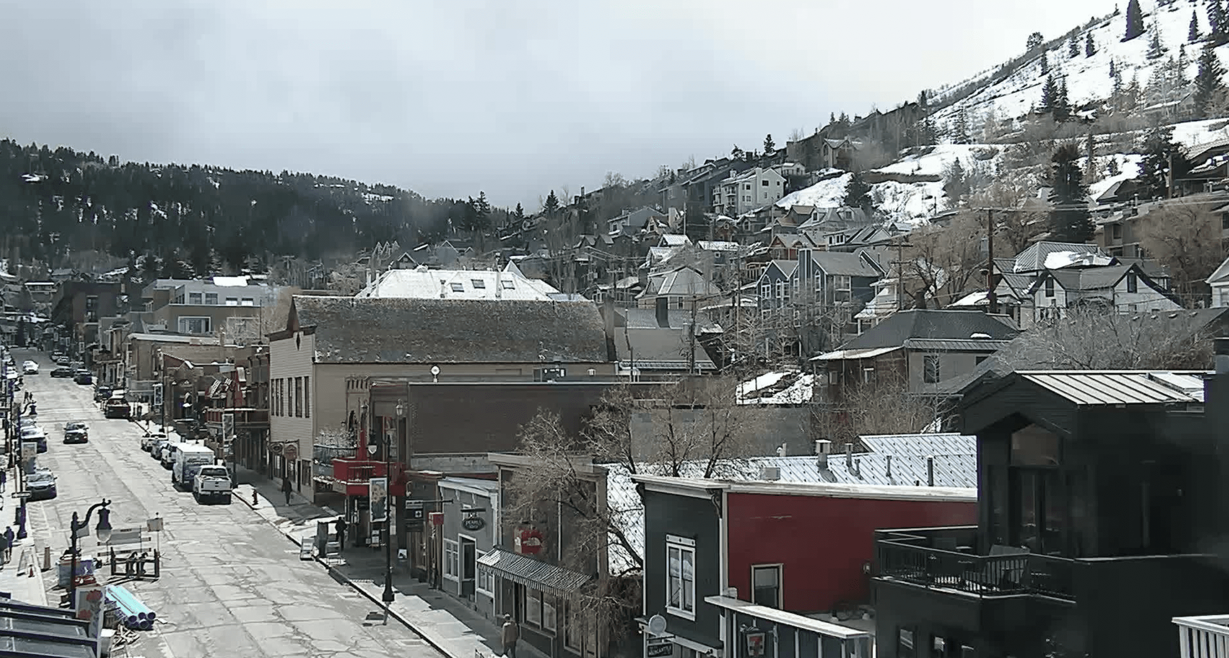
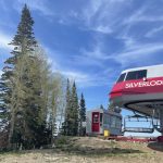
Dec. 4, 2023. Photo: Visit Park City//Historic Main Street Camera.
Wednesday will likely be the warmest day this week with a high near 46
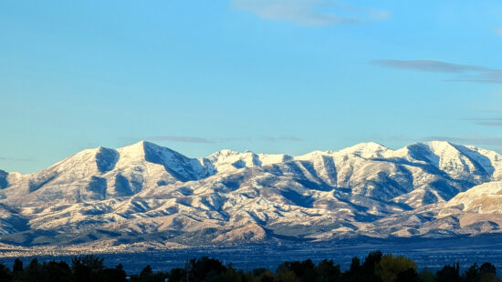
PARK CITY, Utah — This week, Park City will see high temperatures in the high 30s and mid 40s with a chance of snow every day except Tuesday, according to a forecast from the National Weather Service.
Monday, Dec. 4
Today is forecasted to be partly sunny with a high near 39 and a slight chance of rain and snow. South southwest wind around 5 mph, and the chance of precipitation is 20%. Tonight is expected to be mostly clear, with a low around 23 and light and variable wind.
Tuesday, Dec. 5
Tuesday is forecasted to be sunny, with a high near 44 and south wind 3 to 5 mph. Tuesday night is expected to be partly cloudy, with a low around 26 and south wind 5 to 7 mph.
Wednesday, Dec. 6
Wednesday is forecasted to be mostly sunny with a high near 46 and southeast wind 6 to 10 mph. Wednesday night is expected to be partly cloudy with a low around 27 and a chance of rain and snow after midnight. The chance of precipitation is 30%, and little to no snow accumulation is expected.
Thursday, Dec. 7
Thursday is forecasted to be partly sunny with a high near 39 and a 40% chance of snow. Little to no snow accumulation is expected. Thursday night is expected to be mostly cloudy with a low near 20. Snow is likely, mainly after midnight.
Friday, Dec. 8
Friday is forecasted to be mostly cloudy, with a high near 29. Snow is likely. Friday night is expected to be mostly cloudy, with a low around 11 and a chance of snow.
Saturday, Dec. 9
Saturday is forecasted to be partly sunny, with a high near 29 and a slight chance of snow. Saturday night is expected to be mostly cloudy, with a low around 14 and a slight chance of snow.
Sunday, Dec. 10
Sunday is forecasted to be mostly cloudy, with a high near 34 and a chance of snow.
By: TownLift

24 South 600 East
Salt Lake City, UT 84102
19 East 100 North
Spring City, UT 84662
965 Goshen Canyon Road
Mona, UT 84645
10584 Basin Canyon Road
Park City, UT 84098Talk of the Town


Park City Jobs
Social Media Videographer & Editor, Well Plated
1 day ago Contractor $3,000 - $5,000 monthly
Showroom Specialist, Tanner Glass & Hardware
1 day ago Full time $25.00 - $30.00 hourly
Head of Maintenance, Ptarmigan Property Services
1 day ago Full time $70,000 - $85,000 yearly

Assistant Manager, LOMA
9 days ago Full time $35.00 hourly
Property Inspector, Park City Rental Properties
9 days ago Full time $23.00 - $25.00 hourly