Weather
Winter Weather Advisory issued for Park City until 5 am on Thursday – up to 24″ of snow
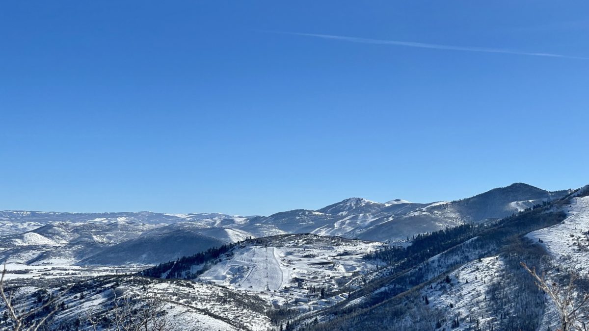
Wednesday should be a great powder day. Photo: TownLift
PARK CITY, Utah — The National Weather Service (NWS) is forecasting up to 24 inches of fresh snow for Park City through Thursday morning, with precipitation beginning on Tuesday afternoon.
A Winter Weather Advisory is in effect for Park City until 5 am on Thursday.
“Winter driving conditions including snow covered roads and greatly reduced visibility can be expected at times from Tuesday morning through Wednesday night,” NWS said.
Full NWS forecast:
Tuesday Night
Snow, mainly after 11pm. Low around 24. Southwest wind 16 to 21 mph. Chance of precipitation is 90%. New snow accumulation of 3 to 7 inches possible.
Wednesday
Snow. The snow could be heavy at times. High near 28. Breezy, with a southwest wind 22 to 28 mph. Chance of precipitation is 100%. New snow accumulation of 5 to 9 inches possible.
Wednesday Night
Snow. Low around 28. West southwest wind 11 to 21 mph. Chance of precipitation is 80%. New snow accumulation of 2 to 4 inches possible.
Thursday
Snow likely. Mostly cloudy, with a high near 31. Southwest wind 13 to 15 mph. Chance of precipitation is 70%. New snow accumulation of less than one inch possible.
Thursday Night
A 20 percent chance of snow before 11pm. Mostly cloudy, with a low around 27.
Friday
A 30 percent chance of snow after 11am. Partly sunny, with a high near 37. New snow accumulation of less than a half inch possible.
Friday Night
Snow likely. Mostly cloudy, with a low around 27.
Saturday
Snow likely, mainly before 11am. Mostly cloudy, with a high near 29.
Saturday Night
Partly cloudy, with a low around 13.
Sunday
Sunny, with a high near 29.
Sunday Night
Mostly clear, with a low around 15.
By: TownLift

325 White Pine Canyon Road
Park City, UT 84060
1511 S Valley View Circle
Springville, UT 84663
80 West 300 North
Salt Lake City, UT 84103
3267 W Deer Hollow Road, Unit 2305
Park City, UT 84060
2349 S Lava Vista Drive, Lot 32
Santa Clara, UT 84765
438 Castle Valley Drive
Castle Valley, UT 84532Talk of the Town


Park City Jobs

Hiring Barista Assistants and Baristas, Silver King Coffee
8 days ago Part time $17.00 - $30.00 hourly
General Maintenance Technician, Moose Management Vacation Rentals
11 days ago Full time

Office Coordinator, Park City Community Foundation
14 days ago Full time $50,000 - $55,000 yearly

Summit Land Conservancy Programs Specialist, Summit Land Conservancy
15 days ago Full time
Vice President of Finance, Park City Community Foundation
15 days ago Full time $115,000 - $130,000 yearly